SHR Emblem

SHR Emblem

Saturday, August 31, 2013

Pictures of the end of California through Central Oregon

Here are some pictures of my last 50 miles of California and the two thirds of Oregon.
This is how smokey it was coming out of Seiad Valley

In case I needed another pair of shoes

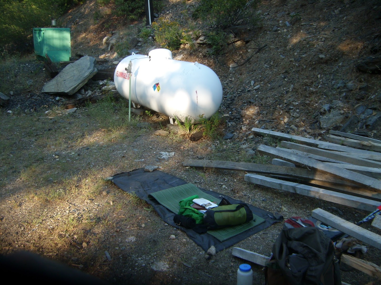
In case I needed a place to stay

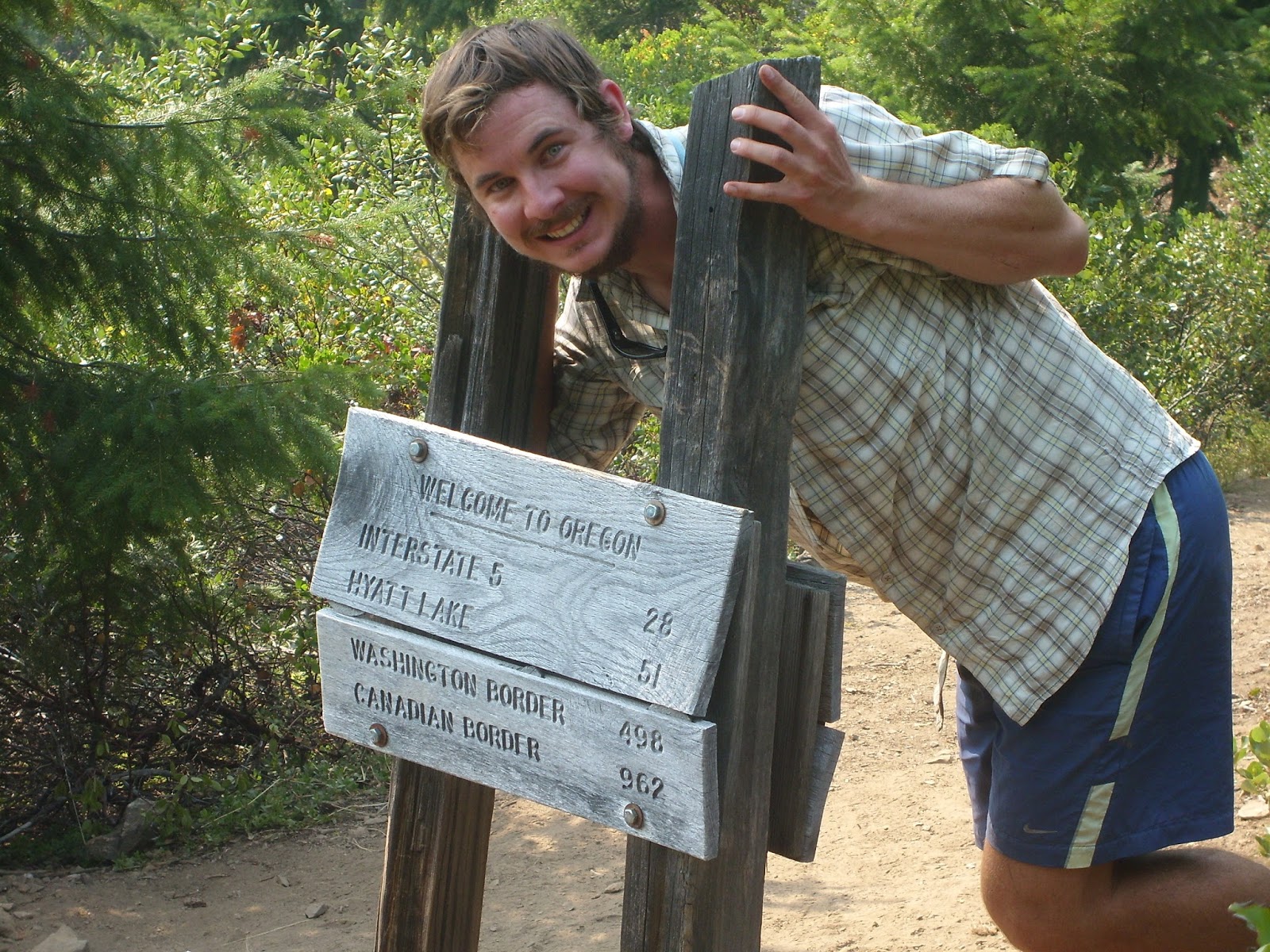
I made it!  Finally at Oregon!

Only 962 miles left till Canada.

Don't even think about it

Trying to take a shower with a hand pump well.  Not easy

Getting closer

One of the many lava flows that I have walked through.  They are the worst.

Forgot what mountain but one of them in Southern Oregon

How we PCTers keep others informed on the water situation

Crater Lake.  So perfect!

It would be even better if the smokey haze was gone.

Just a note from the Crater Lake Park Ranger to use PCT Hikers.  Clearly very welcoming.

Contemplating all!

Mt. Thielson


Old PCT marker.  Kind of cool.

Yes.  It did storm all day today.

South Sister (yes that's what they call the mountain) right after a thunderstorm.  It got some fresh snow!

In the Sister's Wilderness 
Who wants to limbo?

Just an example of the weather I have been having

Another lava flow

Another great mountain in the Three Sisters Wilderness

Finally made it to mile 2000.  Gotta love the marker

Wednesday, August 28, 2013

Pictures from my time off trail with shin splints

Before I went home to my parents house to heal my shin splints, my sister, who picked me up, and I did a little tour of Northern California.  Here are some of the highlights.
Just doing a little swimming

Icing my leg in the ice cold stream

Mt. Shasta

We made it, especially after 2 hours on bad and old dirt roads

Wonder if Justin has ever been here?

Lake Shasta Dam

Tuesday, August 27, 2013

End of California and most of Oregon

I never put on my blog that I was back on trail but I have been for about the last two weeks and it has been a really tough two weeks.  First of all, I took an unplanned stop in Sisters, Oregon today and will be here tomorrow because of some rain we got in the last week.  

When I got on trail about two weeks ago, my plan was to start where I left off, in Etna, CA, but the fires around Etna and the smoke made the air quality really bad.  When I was driving through town with the windows down, the car smelled like a wood smoker.  It was that bad.  As a result, I skipped (side note:  my trail name is Skip...will explain later) up 40 miles to the smaller town of Seiad Valley, CA.  My dad dropped me off there and I was off to conquer Oregon.  The funny thing though was that will I couldn't smell the smoke, the smoke made the visibility for the next two day pretty bad.  At some points, I couldn't see more than a quarter mile off in the distance.

After a day and a half of walking, I finally got to the Oregon boarder and got to celebrate with myself!  I was hoping that someone would be there also, but I was on my own.  I chowed down on some peanut butter MMs (special treat for the occasion), took a really awkward self-timed photo, and relaxed for a while.  It was exciting because I finally made it out California, all 1800 miles of it, and thought I was leaving the heat and lack of water behind.  Boy was I wrong.

For the first 5-6 days of Oregon, I felt as if I had been transported to the desert but one with trees.  The water sources were 10-20 miles apart, it was hot, and it was as if I was walking in a green tunnel.  That is essentially when you are walking in the forest but you can't see anything because of the trees.  Also, on one of my maps, it had the words "Oregon Desert" on it.  Everything I thought Oregon would be was wrong but that changed when I got to Crater Lake National Park.

Crater Lake is an amazing place.  A must see place for anyone who hasn't been there.  I resupplied in the park, got to walk about 8 miles around the lake, and then the world changed.  The night I left Crater Lake, about a week ago, it rained, thundered, and lightninged.  It was so close that the storm sounded like it was right on top of me.  It was scary because all of this weather was happening outside and I was just in my little one-person tent.  It was definitely one of the more nerve-wracking parts of the trip, and the rained stayed around for 4 more days.  This meant that my stuff and I was wet and damp and then I knew I was in the Pacific Northwest.

This storm, which lasted days, made it very hard to stay motivated to stay on the trail, so that is why I stopped in Sisters.  I needed a break and a chance to dry out and relax.

I'll post some pictures of the last two weeks before I get back on trail.  Otherwise, here is to better weather.

Monday, August 26, 2013

in oregon... finally

Hi all,

This is Dan's brother Patrick. We heard from Dan on Saturday and he asked me to put up an update. He hiked past Crater Lake a few days ago. When we talked to him, he was at Lake Odell. In two days, he expects to hike near Sisters, Oregon. We didn't talk for too long but this is what he told us. Maybe he will post some pitures once he has an internet connection.

Thanks for following Dan,
Patrick

Sunday, August 4, 2013

Pictures From Mile 1275ish to Mile 1606

Here are some more pictures.  I have seem a lot of really random stuff in the last 300 miles so there are proof is here.  Also, I don't have many good pictures of Castle Crags or Mt. Shasta because of smoke from fires in the area.  Enjoy
You can see Mt. Lassen in the distance

Camping right out of Belden.  Worst site ever, especially since I had trains go by at 9pm, 1045pm, 445am, and 515am.  Strange place...

Be careful if you cross the line

Made it halfway!!!!!!!!!!!!!! 
Pretty Happy!

Random picture #1

Terminal Geyser at Lassen National Park

How the trail looks sometimes

New Shoes!

Look pretty much the same...right?

Random picture #2

Random picture #3

Subway Cave.  Great at the end of a super hot day.
Looking at Lassen Peak from Hat Creek Rim

Random picture #4 
Random picture #5 
Getting closer

Mt Shasta

Random picture #6

Dad, I never found your hat.  Sorry.

Random picture #7

Trinity Alps

Saturday, August 3, 2013

Stories from Echo Lake to Etna

So right now I am sitting in the middle of nowhere California, aka a small town called Etna, that is about 100 trail miles from the Oregon border.  I wasn't planning on stopping in Etna, but when left Castella on Tuesday morning, which is about an hour north of Redding, Ca,  my right ankle started to hurt.  The worse part is that it didn't get any better, so I had to take a stop in Etna to figure out my foot.

After some talking to another hiker that was a nurse, I figured out that I have shin splints in my right leg.  This means that I will be spending my next few days icing my leg, staying off my feet, and trying to get rid of this, so I can get back on trail.  It is so hard to stop because I am so close to the Oregon border.  After more than three months of hiking in California, I am so ready to leave the state and get into the Pacific Northwest.

For those who have been waiting to hear about the trail since Echo Lake, here is a quick run down of the trail since then.  At Echo Lake on the 4th of July, a friend meet me there to hike with me for a day and it was a nice change to hike with someone.  The hike around Lake Tahoe was surprisingly disappointing because for the most part you never saw the lake and I never got close enough to swim in it.  It was one of the things I had looked forward to for weeks.

The next stop after Tahoe was in a place called Sierra City, a great old mining town.  The nicest couple opened their home and yard for us hikers to use and make us feel at home.  I was talking to the wife about how they started helping out hiker and she said when they moved to Sierra City, she thought it was strange why there were so many homeless people in this small little town in the middle of gold country.  After talking to some hiker, they figured out who and what were were.

After Sierra City, I went home for a week in the middle of July, went through this weird town call Belden (they have raves on the weekend and I walked though town around 515 am on a Saturday.  It was an interesting experience to say the least), meet up with my parents and younger brother in Lassen National Park (see earlier post), and then the weather turned hot again.

I thought that Northern California would be cool and comfortable weather wise but it turned out to be like a desert but with trees.  For about a week, the temps were in the high 90s and low 100s and it was miserable.  In the middle of this, I had to hike Hat Creek Rim, the longest, most exposed, driest section of the whole trail.  It was about 33 miles, so I had to night hike this section because otherwise I couldn't take enough water to last me.

After Hat Creek Rim, I stopped by Burney Falls State Park (the falls were fantastic) through Castella and then into Etna.  Lately, the trail has had a lot of fire near it so the last week or so has been very smokey and hazy but no threat to the trail as of yet.  Until I get my shin splints healed, I will be in Etna and trying to enjoy my time and not get to anxious to leave.