I'm going to post the first six days of my trip is two posts because each of the three day segments were so different and challenging.
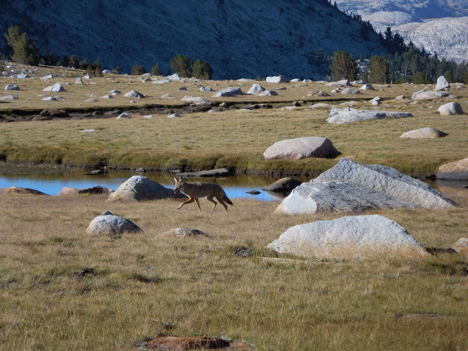
On Wednesday (19th of August), a good friend's dad (thanks Hy!) drove me to get my permit at the Bridgeport Ranger Station and then on to the trail head at Twin Lakes. He dropped me off and I was on my own. The first day of hiking was very challenging but stated with about 5 miles on trail. Then I walked up a canyon to Horse Creek Pass. This was the start of my "off-trail" hiking and it was tough. Climbing more or less straight up the side of a hill and walking/climbing over talus (rocks that range from the size of a small dog to the size of vans) makes it really tiring and difficult. After making it up that pass, I descended to through a meadow (one of the best one's I've ever been through) and then went over my second pass of the day.
The only problem was that I went over the wrong one. I didn't realize this until I got to my camping spot for the night. After the second pass, I passed by a lake, went for a swim, and climbed up another ridge to camp. At camp, I realized I wasn't headed in the wrong direction and between an app on my phone and my paper maps, I was able to figure out where exactly I was.
On the second day, I got myself back on my route and spent the morning climbing my third pass of the trip, Sky Pilot Col. The whole experience of this pass was probably one of the scariest things I had ever done. Going up the pass was like climbing up a wall that crumbles when you look at it. The scree (essentially pea sized rocks that make you slide down the hill when you step on them) mixed with talus made it really difficult and dangerous because no hand or foot hold was "safe." After who knows how long, I made it to the top and then was greeted by a cliff of granite. This sight scared me more than anything I've EVER done. I had not idea how I was going to get down because going back the way the came wasn't an option. After giving myself a really good pep talk that I was going to be fine, I climbed over a small ridge and saw a better, but almost equally steep way down.
Thankfully, I made it down that pass with nothing worse than some rocks in my shoes and the rest of the day was pretty mellow, from the danger point of view. It was tiring to go up the side of a Mt. Conness but my campsite was prime for Day 2. I was able to look back at where I came from and was also by a lake.


No comments:
Post a Comment